
Vancouver Neighbor Sources by Block
The public record describes a Vancouver block in layers. MapsOnline establishes which parcels are adjacent. The Property Information Center links each selected lot to a tax account, site address, and available property fields. City neighborhood pages identify a recognized association and public community contacts. Voter data is not an open block browse, and historical directories show only a dated publication snapshot.
| Source | What It Shows About a Block | Access |
|---|---|---|
| MapsOnline | Parcel outlines, nearby taxlots, addresses, roads, subdivisions and aerial context | Public map with Find Parcel and Identify; not a survey |
| GIS Addressing layers | Address points, duplicate flags, hundred blocks, buildings, roads and ZIP layer | Public layer route; no documented radius tool |
| City neighborhood map | Recognized association, liaison, meeting and action-plan context | Public map and list; no universal member roster |
| Permits and code cases | Construction change or active case tied to an address | PIC, LMS, Tidemark or request; redaction may apply |
| Voter data | Permitted registration and precinct fields | State request and affidavit; protected voters withheld |
| Historic directories and maps | Dated names, intersections, lots and block footprints | CCHM, CCGS, FVRL, WSL and Library of Congress |
These sources describe different roles. A deed names recorded parties, an assessor mailing field supports tax administration, and an association page identifies a community group. None automatically identifies occupants. For a Vancouver block, keep the parcel fact, the name-bearing record, its date, and the role label in separate notes.
Check the Vancouver Boundary First
A Vancouver postal address can sit outside incorporated city limits. Begin with the City address checker, then confirm PIC's Administrative Data jurisdiction field. This prevents a city association search from being applied to a county address and identifies which development office is likely to hold a permit or code file.
The same “Vancouver” label can describe a city, a postal place, a ZIP grouping, or a Census geography. Treat those as separate fields. Physical adjacency remains real, but the agencies, neighborhood label, and public-record route can change across a boundary.
Boundary quirk. Save the site address, tax mailing address, postal address, city jurisdiction, and historic jurisdiction as separate facts.
Map Vancouver Neighbors by Parcel
The verified adjacent-parcel method is manual. Search the subject address in PIC, open Clark County MapsOnline, and locate the same lot with Find Parcel. Turn on parcel, taxlot, road, address, subdivision, annexation, and ZIP layers as needed. Use Identify on each touching or clearly nearby parcel. No official guide documented a public radius or buffer command, so do not imply that the viewer produces an automatic neighbor list.
- Find the subject address and save its parcel ID, jurisdiction, site address, and map date.
- Click each touching or clearly nearby lot with Identify. Record the parcel ID, frontage, subdivision, and address.
- Search each parcel separately in PIC. Preserve any owner or tax-mailing field as a record role, not proof of who lives there.
- Check a deed, permit, directory, or lawful voter-file field only when a second record is needed for the question.
The map can establish adjacency, lot lines, street frontage, subdivision, annexation, and jurisdiction. It cannot enumerate household members or delivery recipients. For a full road rather than the immediate block, use the Vancouver streets lookup and its broader address chain.
The MapsOnline parcel viewer provides the visual workspace for this Vancouver neighbor search.
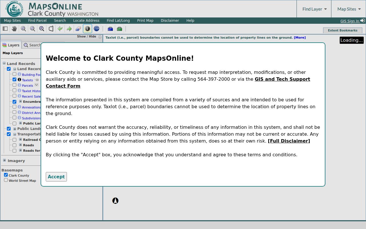
The screenshot shows why parcel selection and layer context should be recorded before attaching a name-bearing record.
Vancouver Neighborhood Association Layer
The City has recognized neighborhood associations since 1975. Its current program reports 14 recognized neighborhoods in 1990 and 71 today. Use the City Lookup Map to identify the association for an address, then open the current neighborhood page for status, meeting details, liaison information, and an action-plan date. An association is an independent community organization, not a city department or a public roster of Vancouver neighbors.
The neighborhood office supports newsletters, postcard mailing, meeting-room coordination, and hybrid meetings. Its public contact is neighborhoods@cityofvancouver.us and 360-487-8608. The City list is the safer community layer because no verified public block roster was found for private clubs, congregations, block watches, or HOA households.
Hudson's Bay
Early local history and an adopted action plan make the official page useful for historic context.
Wildwood
Cascade Park development from the 1960s and 1970s; approximately 400 homes and 1,300 people.
Woodland Meadows
Joined Vancouver after the July 2018 5th Plain Creek Station annexation and combines several community areas.
North Hearthwood
Listed as inactive, which says nothing about whether the area has residents or homes.
The Vancouver neighborhoods page is the source for the current lookup map and program contacts.
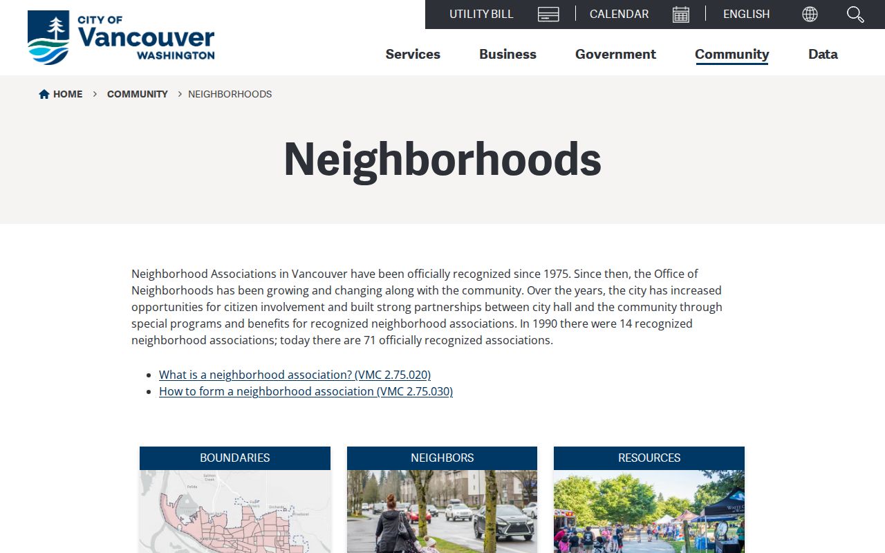
The city page supplies association geography and public participation routes without disclosing a household membership list.
Annexation Changes Vancouver Labels
Neighborhood identity and government jurisdiction have dates. Airport Green formed in 1993 while unincorporated and gained city recognition in 1997. Woodland Meadows entered Vancouver after the July 2018 5th Plain Creek Station annexation. East Vancouver's large 1997 annexation also changed which city systems applied to many addresses.
This comparison explains why a current association page may not match an older directory, permit, or map. Search the former county setting, subdivision, plat, and period name when researching past Vancouver neighbors. An address can remain on the same ground while its city status, association, permit office, and planning label change.
Vancouver Voter Data Is Limited
VoteWA is a personal account tool requiring the voter's own first name, last name, birth date, and reCAPTCHA. It is not a public neighbor browse. Requests for voter lists and daily returns now route through the Washington Secretary of State Public Records Office, with an affidavit and use limits under RCW 29A.08.740. Protected addresses and confidential fields are withheld.
A lawful file may carry name, address, status, registration date, precinct, district, and participation fields depending on the product. It does not reveal ballot choice, and Washington participation data must not be restated as party identity. No stable public count by Vancouver street or ZIP was located. Ask for the smallest suitable aggregate or defined data product instead of inferring a block roster.
For corrections, use Clark County Elections at 1408 Franklin Street, 564-397-2345, or elections@clark.wa.gov. The office provides registration, signature, cancellation, temporary-address, and deceased-voter forms.
Trace Past Vancouver Neighbors
Historical block work starts with the street or intersection as printed at the time. A city directory may give a name, occupation, lodging term, or compact intersection notation. A Sanborn sheet shows building footprints and block context, while a plat bridges lot and subdivision descriptions to the current parcel. Each source has a date, and none alone proves continuous occupancy.
The free 1892 Vancouver Sanborn set contains nine sheets. Pair it with directory material at the Clark County Historical Museum, Clark County Genealogical Society, Fort Vancouver Regional Libraries, or Washington State Library. Then compare the modern parcel map. This one-block, three-era method reveals continuity and change without converting an old printed entry into a claim about today's neighbors.
Save the institution, collection, issue year, page or image, and access terms. Alternate spellings, initials, directional abbreviations, and “Clarke County” may be essential for nineteenth and early twentieth-century searches.
Official Vancouver Block Records
Commercial neighbor tools combine data from many dates and may blur an owner, mailing contact, former occupant, or relative. Official sources are narrower but disclose the custodian, record role, and update context. That makes them easier to verify and correct.
| Source Type | Strength | Main Limit |
|---|---|---|
| Official parcel and deed records | Stable parcel or instrument identifier and named custodian | Ownership or mailing role is not occupancy |
| City association records | Current neighborhood boundary and public civic contact | No complete resident or member list |
| Commercial compiled results | May gather scattered leads quickly | Source date, role, correction route, and accuracy may be unclear |
Use a commercial result, if encountered, only as an unverified lead. Return to MapsOnline, PIC, the Auditor, City association pages, or another custodian before stating that a record belongs to a nearby Vancouver household.
Request Vancouver Address Files
Permit, site-plan, correspondence, and code files may not be fully visible online. Request them from the responsible City or County office by exact address, parcel, case, record type, and date range. Vancouver accepts public-record requests online, by mail, fax, in person, verbally, or by email. Clark County uses GovQA and department routes.
Washington agencies respond within five business days by producing the record or link, acknowledging with an estimate, seeking clarification, or denying with a stated exemption. That first response is not always final production. Ask for inspection or electronic delivery, keep the request number, and expect lawful redaction.
An active code-enforcement symbol is only a case lead. It says nothing by itself about a nearby household. Likewise, a missing web result may reflect old records, a different jurisdiction, restricted fields, or an unindexed file.
Protect Vancouver Neighbors' Privacy
Parcel and address maps do not expose every occupant. Private household members, non-owner occupants, utility customers, and delivery recipients are outside the verified block workflow. Court, vital, and voter records can be sealed, restricted, or redacted. A map result should never be used to probe a protected person or publish an unverified name.
Washington's Address Confidentiality Program gives eligible participants a substitute address and protects actual residence, mailing address, city, county, precinct, and identifying information. A substitute or missing address is a safety control. Do not try to defeat it. If an official source is wrong, the correction belongs with its custodian.
Lawful use. Research Vancouver neighbors only for lawful personal or civic reasons. Never use these records to watch, harass, threaten, or expose anyone.